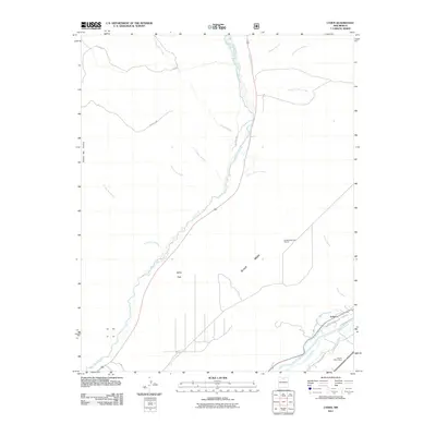
2011 Map of Lyden
USGS Topo · Published 2011About this map
The confluence of the Rio Ojo Caliente and the Rio Grande anchors this 2011 survey, where the river valley landscape is defined by an intricate network of traditional irrigation infrastructure. The settlement of Lyden sits at the heart of this agricultural corridor, supported by a series of named acequias including the La Mesa Ditch, El Medio Ditch, and Rinconada Isla Ditch. These waterways illustrate the long-standing community-managed water systems essential to life in this arid region.
Find a feature on this map
27 named features on this map. Tap any name to fly to it.
Don’t see what you’re looking for? This feature index may not catch every label — zoom into the map to look around manually.
Map Details
Editions of this 2011 Lyden Map
This is the sole edition of this map. No revisions or reprints were ever made.
Other maps of this area

1918 · Abiquiu
USGS Topo · 1:125,000

1953 · Chili
USGS Topo · 1:24,000

1953 · Medanales
USGS Topo · 1:24,000

1953 · San Juan Pueblo
USGS Topo · 1:24,000

1953 · Lyden
USGS Topo · 1:24,000

1953 · Velarde
USGS Topo · 1:24,000

1953 · El Rito
USGS Topo · 1:24,000

1953 · Chimayo
USGS Topo · 1:24,000

1953 · Ojo Caliente
USGS Topo · 1:24,000

1953 · San Juan Pueblo
USGS Topo · 1:62,500