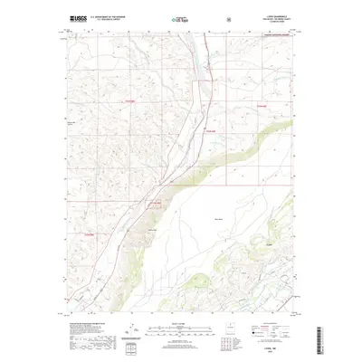
2020 Map of Lyden
USGS Topo · Published 2020About this map
Rio Ojo Caliente and the Rio Grande dominate this Northern New Mexico landscape, where river-fed irrigation has sustained settlements for generations. The map detail highlights a sophisticated network of traditional waterways, including the La Mesa Ditch, El Medio Ditch, and Rinconada Isla Ditch, which define the agricultural footprint around Lyden. To the west, the elevation rises sharply from the river valley toward the prominent Black Mesa and Vallito Peak, while the northern portion of the quadrangle reaches into the protected boundaries of the Carson National Forest. The transition from the alluvial plains of the Arroyo del Pueblo to the dissected canyonlands of Cañada de Piedra illustrates the complex topography that constrained early road development, such as the path of Old Hwy 582.
Find a feature on this map
38 named features on this map. Tap any name to fly to it.
Don’t see what you’re looking for? This feature index may not catch every label — zoom into the map to look around manually.
Map Details
Editions of this 2020 Lyden Map
This is the sole edition of this map. No revisions or reprints were ever made.
Other maps of this area

1918 · Abiquiu
USGS Topo · 1:125,000

1953 · Chili
USGS Topo · 1:24,000

1953 · Medanales
USGS Topo · 1:24,000

1953 · San Juan Pueblo
USGS Topo · 1:24,000

1953 · Lyden
USGS Topo · 1:24,000

1953 · Velarde
USGS Topo · 1:24,000

1953 · El Rito
USGS Topo · 1:24,000

1953 · Chimayo
USGS Topo · 1:24,000

1953 · Ojo Caliente
USGS Topo · 1:24,000

1953 · San Juan Pueblo
USGS Topo · 1:62,500