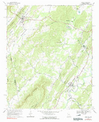
1966 Map of Lyerly
USGS Topo · Published 1991About this map
Lyerly and Menlo anchor the Chattooga County landscape on this mid-1960s survey, illustrating a community structured by the Central of Georgia railroad and the Chattooga River. The map reveals a cluster of religious and civic institutions such as Mt Bethel Ch, Thomas Chapel, and Alpine Ch, alongside several family and community burial grounds including Gamble Cem and Lyerly Cem. Industrial and state activity is evident near Berryton, where a Filtration Plant and the Summerville State Fish Hatchery operate near the river's edge.
Find a feature on this map
53 named features on this map. Tap any name to fly to it.
Don’t see what you’re looking for? This feature index may not catch every label — zoom into the map to look around manually.
Map Details
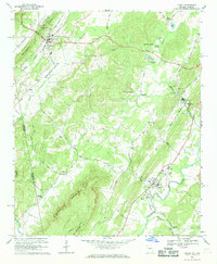
Editions of this 1966 Lyerly Map
2 editions found
Other maps of this area

1886 · Ringgold
USGS Topo · 1:125,000

1886 · Rome
USGS Topo · 1:125,000

1886 · Stevenson
USGS Topo · 1:125,000

1892 · Ringgold
USGS Topo · 1:125,000

1892 · Stevenson
USGS Topo · 1:125,000

1893 · Fort Payne
USGS Topo · 1:125,000

1895 · Stevenson
USGS Topo · 1:125,000

1898 · Rome
USGS Topo · 1:125,000

1898 · Fort Payne
USGS Topo · 1:125,000

1899 · Rome
USGS Topo · 1:125,000