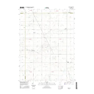
2016 Map of Lykens
USGS Topo · Published 2016About this map
Lykens and the surrounding agricultural townships of Crawford and Seneca Counties are defined by a grid of rural roads and scattered small communities. The terrain is crisscrossed by numerous small waterways, including Greasy Run, Mile Run, and the winding Sycamore Creek, which flow through a landscape of family farms and woodlots. The map reveals a high concentration of small burial grounds that mark the 19th-century settlement patterns of the region, such as Eden Cem, Seery Cem, and Texas Township Cem near the village of Benton. The rail-influenced layout of the area is evident near Lemert and Plankton, while the southern portion of the quadrangle is anchored by the community of Broken Sword and the headwaters of Broken Sword Creek. This survey provides a precise look at the township boundaries and local roads like Marion-Melmore Rd and Knauss Rd as they appeared in 2016.
Find a feature on this map
67 named features on this map. Tap any name to fly to it.
Don’t see what you’re looking for? This feature index may not catch every label — zoom into the map to look around manually.
Map Details
Editions of this 2016 Lykens Map
This is the sole edition of this map. No revisions or reprints were ever made.
Other maps of this area

1906 · Sycamore
USGS Topo · 1:62,500

1906 · Tiffin
USGS Topo · 1:62,500

1915 · Siam
USGS Topo · 1:62,500

1915 · Bucyrus
USGS Topo · 1:62,500

1943 · Bucyrus
USGS Topo · 1:62,500

1950 · Marion
USGS Topo · 1:250,000

1956 · Toledo
USGS Topo · 1:250,000

1960 · Sycamore
USGS Topo · 1:24,000

1960 · Tiffin South
USGS Topo · 1:24,000

1960 · Oceola
USGS Topo · 1:24,000