Loading...
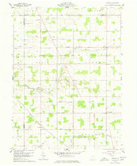
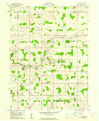
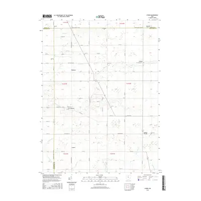
Loading map...1960 Map of Lykens
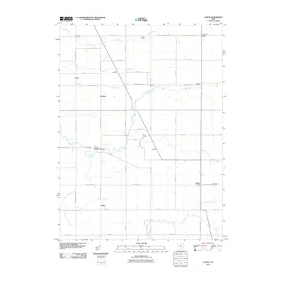
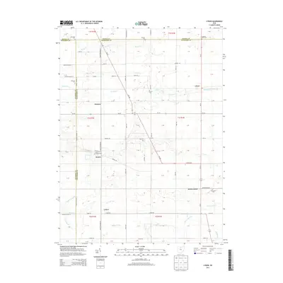
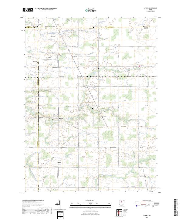
USGS Topo · Published 1978About this map
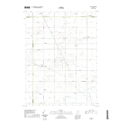
The Old Indian Treaty Boundary slices diagonally through this agricultural landscape, a persistent surveyor's mark across Crawford County. This 1960 field-checked survey reveals a rural network of small hamlets such as Lykens, Benton, and Plankton, each connected by a grid of farm-to-market roads like the Sycamore New Washington Road. The New York Central railroad passes through the southwest corner, serving the grain-handling hub of Lemert.
Find a feature on this map
39 named features on this map. Tap any name to fly to it.
Don’t see what you’re looking for? This feature index may not catch every label — zoom into the map to look around manually.
Map Details
Date Portrayed1960
Date Published1978
PublisherU.S. Geological Survey
Map TypeTopographic
Scale1:24,000
Physical Dimensions22.1 x 26.9 inches
Editions of this 1960 Lykens Map
2 editions found
Historical Maps of Lykens Through Time
6 maps found
Featured Locations
- Eden Township, OH
- Lykens Township, OH
- Holmes Township, OH
- Lykens, Lykens Township
- Benton, Texas Township
Source Details
SourceU.S. Geological Survey
CopyrightPublic Domain