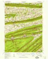
1955 Map of Lykens
USGS Topo · Published 1958About this map
Lykens Valley forms the centerpiece of this mid-century topographic study, illustrating the dense concentration of coal-era settlements along the Wiconisco Creek. The landscape is defined by the sharp, parallel ridges of Berry Mountain, Big Lick Mountain, and Peters Mountain, which hem in a series of narrow industrial and agricultural corridors. The influence of the Reading railroad is evident, connecting towns like Williamstown and Tower City where subterranean features such as the Bear Creek Tunnel and various Strip Mine sites point to the region's mining heritage. To the north, the terrain transitions into a more rural pattern of small villages like Klingerstown and Pitman, dotted with local landmarks including Himmels Ch and Kissingers Sch. The southern reaches of the map show the beginning of more wooded, less developed territory near Stony Creek and the Twin Grove Park recreation area.
Find a feature on this map
100 named features on this map. Tap any name to fly to it.
Don’t see what you’re looking for? This feature index may not catch every label — zoom into the map to look around manually.
Map Details
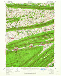
Editions of this 1955 Lykens Map
2 editions found
Other maps of this area

1889 · Catawissa
USGS Topo · 1:62,500

1891 · Lebanon
USGS Topo · 1:62,500

1892 · Catawissa
USGS Topo · 1:62,500

1892 · Lykens
USGS Topo · 1:62,500

1892 · Hummelstown
USGS Topo · 1:62,500

1892 · Shamokin
USGS Topo · 1:62,500

1892 · Harrisburg
USGS Topo · 1:62,500

1892 · Pine Grove
USGS Topo · 1:62,500

1893 · Sunbury
USGS Topo · 1:62,500

1893 · Lykens
USGS Topo · 1:62,500