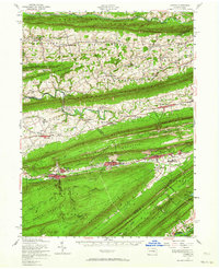
1955 Map of Lykens
USGS Topo · Published 1964About this map
The ridge-and-valley province of Central Pennsylvania is sharply defined here by the parallel alignments of Line Mountain, Mahantango Mountain, and Berry Mountain. This 1950s era survey captures the industrial and agricultural landscape of the Lykens Valley, where the Reading railroad lines connect anthracite coal towns like Williamstown and Lykens. The map documents a high density of rural infrastructure, including numerous country churches such as Simeons Ch and St Matthews Ch, and small schools like Kartemans Little Sch.
Find a feature on this map
109 named features on this map. Tap any name to fly to it.
Don’t see what you’re looking for? This feature index may not catch every label — zoom into the map to look around manually.
Map Details
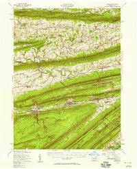
Editions of this 1955 Lykens Map
2 editions found
Other maps of this area

1889 · Catawissa
USGS Topo · 1:62,500

1891 · Lebanon
USGS Topo · 1:62,500

1892 · Catawissa
USGS Topo · 1:62,500

1892 · Lykens
USGS Topo · 1:62,500

1892 · Hummelstown
USGS Topo · 1:62,500

1892 · Shamokin
USGS Topo · 1:62,500

1892 · Harrisburg
USGS Topo · 1:62,500

1892 · Pine Grove
USGS Topo · 1:62,500

1893 · Sunbury
USGS Topo · 1:62,500

1893 · Lykens
USGS Topo · 1:62,500