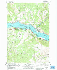
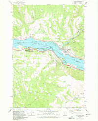
1978 Map of Lyle
USGS Topo · Published 1991About this map
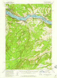
The Columbia River serves as a massive geographic divider in this late 1970s survey, separating the shores of Washington and Oregon. On the northern bank, the settlement of Lyle sits at the mouth of the Klickitat River, where the Burlington Northern railroad tracks hug the shoreline. This area is characterized by dramatic elevation changes, from the river-level basins of Chamberlain Lake to the heights of Tracy Hill and Rocky Flat.
Find a feature on this map
56 named features on this map. Tap any name to fly to it.
Don’t see what you’re looking for? This feature index may not catch every label — zoom into the map to look around manually.
Map Details
Editions of this 1978 Lyle Map
2 editions found
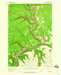
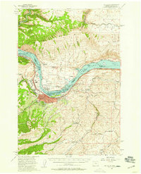
Other maps of this area

1934 · The Dalles
USGS Topo · 1:125,000

1953 · The Dalles
USGS Topo · 1:250,000

1956 · The Dalles
USGS Topo · 1:250,000

1957 · The Dalles
USGS Topo · 1:250,000
1957 · Klickitat
USGS Topo · 1:62,500
1957 · The Dalles
USGS Topo · 1:62,500
1957 · White Salmon
USGS Topo · 1:62,500
1957 · Husum
USGS Topo · 1:62,500

1974 · The Dalles North
USGS Topo · 1:24,000
1974 · Brown Creek
USGS Topo · 1:24,000