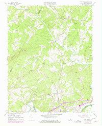
1966 Map of Lynch Station
USGS Topo · Published 1978About this map
The Southern railroad corridor and the winding course of the Big Otter River define this rural Piedmont landscape during the mid-1960s. Small communities like Evington, Otter River, and Tardy are connected by a network of country roads and numerous rural congregations, including Mt Pisgah Ch, Good Shepherd Ch, and Shiloh Ch. The southern edge of the map is dominated by the industrial confluence where the Norfolk and Western line meets the Roanoke River, marking the boundary between Campbell and Pittsylvania Counties.
Find a feature on this map
44 named features on this map. Tap any name to fly to it.
Don’t see what you’re looking for? This feature index may not catch every label — zoom into the map to look around manually.
Map Details
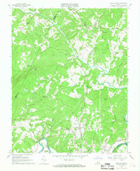
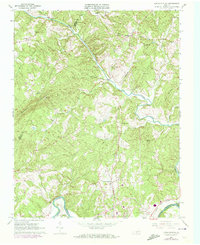
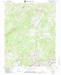
Editions of this 1966 Lynch Station Map
4 editions found
Other maps of this area

1892 · Lynchburg
USGS Topo · 1:125,000

1944 · Lynchburg
USGS Topo · 1:62,500

1947 · Roanoke
USGS Topo · 1:250,000

1950 · Goode
USGS Topo · 1:62,500

1950 · Lynchburg
USGS Topo · 1:62,500

1951 · Altavista
USGS Topo · 1:62,500

1956 · Gladys
USGS Topo · 1:62,500

1959 · Roanoke
USGS Topo · 1:250,000

1963 · Roanoke
USGS Topo · 1:250,000

1963 · City Farm
USGS Topo · 1:24,000