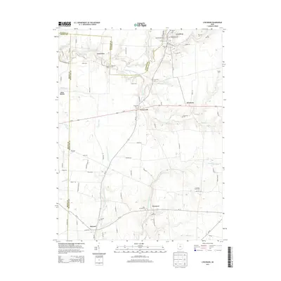
2013 Map of Lynchburg
USGS Topo · Published 2013About this map
Lynchburg anchors this Highland County landscape, situated where Turtle Cr and the East Fork Little Miami River converge. The village serves as a central hub for the surrounding agricultural community, characterized by family-named landmarks like Stroud Farms and Adams Farm. The region is marked by its small, distributed settlements, including Dodsonville, Allensburg, and Pricetown, each connected by a network of rural roads that follow the drainage patterns of Dodson Cr and N Fork White Oak Cr.
Find a feature on this map
83 named features on this map. Tap any name to fly to it.
Don’t see what you’re looking for? This feature index may not catch every label — zoom into the map to look around manually.
Map Details
Editions of this 2013 Lynchburg Map
This is the sole edition of this map. No revisions or reprints were ever made.
Other maps of this area

1907 · Blanchester
USGS Topo · 1:62,500

1917 · Hillsboro
USGS Topo · 1:62,500

1917 · Sabina
USGS Topo · 1:62,500

1917 · Sardinia
USGS Topo · 1:62,500

1943 · Sabina
USGS Topo · 1:62,500

1944 · Hillsboro
USGS Topo · 1:62,500

1944 · Sardinia
USGS Topo · 1:62,500

1947 · Columbus
USGS Topo · 1:250,000
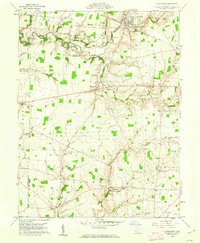
1960 · Lynchburg
USGS Topo · 1:24,000

1960 · Martinsville
USGS Topo · 1:24,000