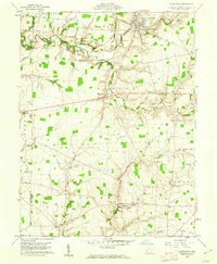
1960 Map of Lynchburg
USGS Topo · Published 1962About this map
Lynchburg serves as the primary hub in this southwest Ohio landscape, where the Baltimore and Ohio railroad corridor traces the northern edge of the village near Turtle Creek. The map documents a predominantly agricultural region within the Virginia Military District, characterized by a dense network of country roads and family-named cemeteries such as Stroup Cem and Bobbitt Cem. Several small crossroads settlements, including Dodsonville, Allensburg, and Pricetown, are linked by historic routes like Anderson Road and County Line Rd.
Find a feature on this map
58 named features on this map. Tap any name to fly to it.
Don’t see what you’re looking for? This feature index may not catch every label — zoom into the map to look around manually.
Map Details
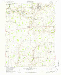
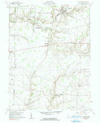
Editions of this 1960 Lynchburg Map
3 editions found
Other maps of this area

1907 · Blanchester
USGS Topo · 1:62,500

1917 · Hillsboro
USGS Topo · 1:62,500

1917 · Sabina
USGS Topo · 1:62,500

1917 · Sardinia
USGS Topo · 1:62,500

1943 · Sabina
USGS Topo · 1:62,500

1944 · Hillsboro
USGS Topo · 1:62,500

1944 · Sardinia
USGS Topo · 1:62,500

1947 · Columbus
USGS Topo · 1:250,000

1960 · Martinsville
USGS Topo · 1:24,000
1960 · Mount Orab
USGS Topo · 1:24,000