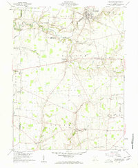
1960 Map of Lynchburg
USGS Topo · Published 1962About this map
Lynchburg serves as the primary hub in this corner of the Virginia Military District, where the Baltimore and Ohio railroad corridor shapes the local geography. The landscape is a network of small agricultural settlements and family-named landmarks, reflecting the deep-rooted settlement patterns of Highland County and its neighbors. Several rural burial grounds, including Bobbitt Cem and Henderson Cem, are documented alongside community foundations like the Salem Sch in Pricetown.
Find a feature on this map
60 named features on this map. Tap any name to fly to it.
Don’t see what you’re looking for? This feature index may not catch every label — zoom into the map to look around manually.
Map Details
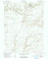
Editions of this 1960 Lynchburg Map
3 editions found
Other maps of this area

1907 · Blanchester
USGS Topo · 1:62,500

1917 · Hillsboro
USGS Topo · 1:62,500

1917 · Sabina
USGS Topo · 1:62,500

1917 · Sardinia
USGS Topo · 1:62,500

1943 · Sabina
USGS Topo · 1:62,500

1944 · Hillsboro
USGS Topo · 1:62,500

1944 · Sardinia
USGS Topo · 1:62,500

1947 · Columbus
USGS Topo · 1:250,000
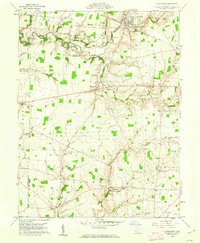
1960 · Lynchburg
USGS Topo · 1:24,000

1960 · Martinsville
USGS Topo · 1:24,000