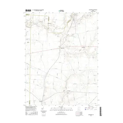
2016 Map of Lynchburg
USGS Topo · Published 2016About this map
Lynchburg sits at the northern edge of this southwestern Ohio landscape, where the Lynchburg Bridge spans the East Fork Little Miami River. The map reveals a dense network of burial grounds essential for genealogical research, including the Masonic Cem, Independent Order of Oddfellows Cem, and the Bobbitt Cem. These sites, along with smaller family plots like the Runk Cem and Ellis Cem, are distributed among a series of historic crossroads settlements.
Find a feature on this map
105 named features on this map. Tap any name to fly to it.
Don’t see what you’re looking for? This feature index may not catch every label — zoom into the map to look around manually.
Map Details
Editions of this 2016 Lynchburg Map
This is the sole edition of this map. No revisions or reprints were ever made.
Other maps of this area

1907 · Blanchester
USGS Topo · 1:62,500

1917 · Hillsboro
USGS Topo · 1:62,500

1917 · Sabina
USGS Topo · 1:62,500

1917 · Sardinia
USGS Topo · 1:62,500

1943 · Sabina
USGS Topo · 1:62,500

1944 · Hillsboro
USGS Topo · 1:62,500

1944 · Sardinia
USGS Topo · 1:62,500

1947 · Columbus
USGS Topo · 1:250,000
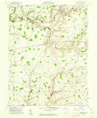
1960 · Lynchburg
USGS Topo · 1:24,000

1960 · Martinsville
USGS Topo · 1:24,000