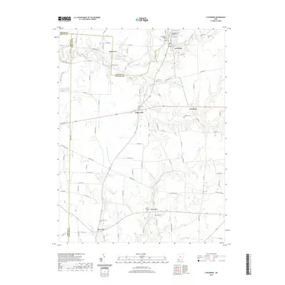
2019 Map of Lynchburg
USGS Topo · Published 2019About this map
Lynchburg sits at the intersection of the East Fork Little Miami River and numerous regional corridors in this 2019 survey of the Highland, Clinton, and Brown County borders. The map documents a deeply rooted rural landscape where small settlements like Pricetown, Dodsonville, and Allensburg are anchored by family and fraternal burial grounds. Notable sites include the Independent Order of Oddfellows Cem and the Masonic Cem, indicating the historical significance of fraternal organizations in this part of Ohio. The drainage patterns of Little N Fork White Oak Cr and Dodson Cr dictate the layout of the local road network, which connects scattered hamlets such as Webertown and Harwood. Researchers will find a high density of named cemeteries, including the Troutwine Cem and Ruble Cem, which offer significant value for genealogical mapping in the tri-county area.
Find a feature on this map
96 named features on this map. Tap any name to fly to it.
Don’t see what you’re looking for? This feature index may not catch every label — zoom into the map to look around manually.
Map Details
Editions of this 2019 Lynchburg Map
This is the sole edition of this map. No revisions or reprints were ever made.
Other maps of this area

1907 · Blanchester
USGS Topo · 1:62,500

1917 · Hillsboro
USGS Topo · 1:62,500

1917 · Sabina
USGS Topo · 1:62,500

1917 · Sardinia
USGS Topo · 1:62,500

1943 · Sabina
USGS Topo · 1:62,500

1944 · Hillsboro
USGS Topo · 1:62,500

1944 · Sardinia
USGS Topo · 1:62,500

1947 · Columbus
USGS Topo · 1:250,000
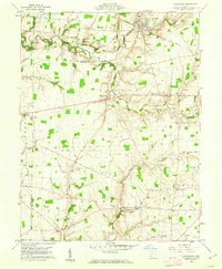
1960 · Lynchburg
USGS Topo · 1:24,000

1960 · Martinsville
USGS Topo · 1:24,000