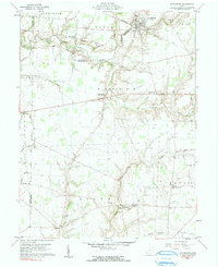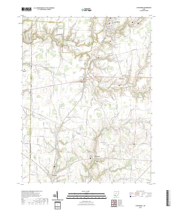
2023 Map of Lynchburg
USGS Topo · Published 2023About this map
Lynchburg sits at the confluence of several townships near the Highland and Clinton county lines, serving as a focal point for a landscape defined by small settlements and family cemeteries. The East Fork Little Miami River winds through the northern portion of the quadrangle, while the southern reaches are drained by the North Fork White Oak Creek and its many tributaries like Barr Run. This agricultural region is punctuated by long-established communities such as Dodsonville, Allensburg, and Pricetown, each connected by a network of rural roads that have guided local movement for generations.
Find a feature on this map
59 named features on this map. Tap any name to fly to it.
Don’t see what you’re looking for? This feature index may not catch every label — zoom into the map to look around manually.
Map Details
Editions of this 2023 Lynchburg Map
This is the sole edition of this map. No revisions or reprints were ever made.