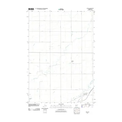
2010 Map of Lynd
USGS Topo · Published 2010About this map
Lynd serves as the focal point of this southwestern Minnesota landscape, situated at the confluence of the Redwood River and several local transit corridors. The settlement's infrastructure includes the Lynd Post Office and proximity to the Runholt-Mellenthin Dam, illustrating the managed water resources essential to the region's agricultural character. This 2010 survey details a highly organized section-line road network, where numbered avenues like 180th Ave and streets such as 250th St divide the prairie. Genealogy researchers will find the locations of Zion Cemetery and Island Lake Cemetery clearly marked, providing established points of reference for local family histories. The meandering course of Threemile Creek cuts across the grid, offering a stark contrast to the rigid geometry of the surrounding farm lots and roads like County Hwy-4.
Find a feature on this map
23 named features on this map. Tap any name to fly to it.
Don’t see what you’re looking for? This feature index may not catch every label — zoom into the map to look around manually.
Map Details
Editions of this 2010 Lynd Map
This is the sole edition of this map. No revisions or reprints were ever made.
Other maps of this area

1953 · Watertown
USGS Topo · 1:250,000

1953 · New Ulm
USGS Topo · 1:250,000

1957 · New Ulm
USGS Topo · 1:250,000

1958 · New Ulm
USGS Topo · 1:250,000

1958 · Watertown
USGS Topo · 1:250,000

1963 · Dead Coon Lake
USGS Topo · 1:24,000

1963 · Gislason Lake
USGS Topo · 1:24,000

1963 · Russell
USGS Topo · 1:24,000

1963 · Lynd
USGS Topo · 1:24,000

1963 · Marshall SE
USGS Topo · 1:24,000