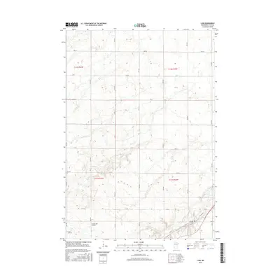
2016 Map of Lynd
USGS Topo · Published 2016About this map
The settlement of Lynd sits along the banks of the Redwood River, serving as a focal point in this southwestern Minnesota landscape. The area is characterized by the prominent rise of the Coteau des Prairies, a high plateau that dictates the local drainage patterns. Water features like Threemile Cr snake through the township sections, highlighting the transition between the upland prairie and the river valley.
Find a feature on this map
35 named features on this map. Tap any name to fly to it.
Don’t see what you’re looking for? This feature index may not catch every label — zoom into the map to look around manually.
Map Details
Editions of this 2016 Lynd Map
This is the sole edition of this map. No revisions or reprints were ever made.
Other maps of this area

1953 · Watertown
USGS Topo · 1:250,000

1953 · New Ulm
USGS Topo · 1:250,000

1957 · New Ulm
USGS Topo · 1:250,000

1958 · New Ulm
USGS Topo · 1:250,000

1958 · Watertown
USGS Topo · 1:250,000

1963 · Dead Coon Lake
USGS Topo · 1:24,000

1963 · Gislason Lake
USGS Topo · 1:24,000

1963 · Russell
USGS Topo · 1:24,000

1963 · Lynd
USGS Topo · 1:24,000

1963 · Marshall SE
USGS Topo · 1:24,000