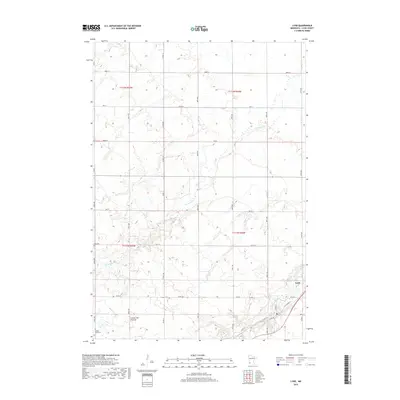
2019 Map of Lynd
USGS Topo · Published 2019About this map
The Lynd settlement occupies the southeastern corner of this Lyon County survey, situated where the Redwood River flows through a landscape defined by the Coteau des Prairies. This geographic feature, a high plateau rising above the surrounding plains, influences the local drainage patterns of smaller waterways like Threemile Cr. The map details a well-ordered grid of section lines and rural roads, including Co HWY 15 and Co RD 74, that facilitate movement across the agricultural terrain.
Find a feature on this map
29 named features on this map. Tap any name to fly to it.
Don’t see what you’re looking for? This feature index may not catch every label — zoom into the map to look around manually.
Map Details
Editions of this 2019 Lynd Map
This is the sole edition of this map. No revisions or reprints were ever made.
Other maps of this area

1953 · Watertown
USGS Topo · 1:250,000

1953 · New Ulm
USGS Topo · 1:250,000

1957 · New Ulm
USGS Topo · 1:250,000

1958 · New Ulm
USGS Topo · 1:250,000

1958 · Watertown
USGS Topo · 1:250,000

1963 · Dead Coon Lake
USGS Topo · 1:24,000

1963 · Gislason Lake
USGS Topo · 1:24,000

1963 · Russell
USGS Topo · 1:24,000

1963 · Lynd
USGS Topo · 1:24,000

1963 · Marshall SE
USGS Topo · 1:24,000