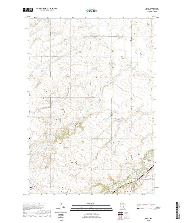
2022 Map of Lynd
USGS Topo · Published 2022About this map
Lynd sits at a strategic bend where the Redwood River transitions from the higher elevations of the Coteau des Prairies toward the surrounding plains. This modern survey illustrates the precise section-line road network of Lyon County, revealing how local travel remains anchored by a grid of numbered streets and avenues. The settlement of Lynd is defined by its proximity to the river, with N River St and E Railroad St hinting at the community's historical development alongside water and rail corridors. To the west, the landscape rises into the prominent coteau upland, where Threemile Cr carves drainage patterns across the prairie. The map provides essential data for genealogists, marking the locations of both Zion Cem and the Island Lake Cem situated along the 150th Avenue corridor. Modern recreation is also noted via the Redwood River Trl, which follows the waterway's natural course through the township.
Find a feature on this map
38 named features on this map. Tap any name to fly to it.
Don’t see what you’re looking for? This feature index may not catch every label — zoom into the map to look around manually.
Map Details
Editions of this 2022 Lynd Map
This is the sole edition of this map. No revisions or reprints were ever made.
Other maps of this area

1953 · Watertown
USGS Topo · 1:250,000

1953 · New Ulm
USGS Topo · 1:250,000

1957 · New Ulm
USGS Topo · 1:250,000

1958 · New Ulm
USGS Topo · 1:250,000

1958 · Watertown
USGS Topo · 1:250,000

1963 · Dead Coon Lake
USGS Topo · 1:24,000

1963 · Gislason Lake
USGS Topo · 1:24,000

1963 · Russell
USGS Topo · 1:24,000

1963 · Lynd
USGS Topo · 1:24,000

1963 · Marshall SE
USGS Topo · 1:24,000