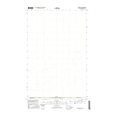
2017 Map of Lynden OE N
USGS Topo · Published 2017About this map
Canada and the United States of America meet along the 49th parallel in this borderlands survey of the Pacific Northwest. This specific quadrangle covers a stretch of the international boundary within Whatcom Co, Washington, where the landscape is defined by the strict east-west line of the border and the rural road network that services it. E Boundary Rd runs directly along the dividing line, providing a primary point of reference for the sparsely settled agricultural or forest tracts that characterize the region. The cartography highlights the administrative divisions between t41n r2e and t41n r3e, showing the transition between these surveying townships as they terminate at the national frontier.
Find a feature on this map
5 named features on this map. Tap any name to fly to it.
Don’t see what you’re looking for? This feature index may not catch every label — zoom into the map to look around manually.
Map Details
Editions of this 2017 Lynden OE N Map
This is the sole edition of this map. No revisions or reprints were ever made.
Other maps of this area

1906 · Sumas
USGS Topo · 1:62,500

1907 · Blaine
USGS Topo · 1:62,500

1908 · Sumas
USGS Topo · 1:62,500

1952 · Bertrand Creek
USGS Topo · 1:24,000

1952 · Lynden
USGS Topo · 1:24,000

1952 · Sumas
USGS Topo · 1:24,000

1952 · Blaine
USGS Topo · 1:62,500

1954 · Lynden
USGS Topo · 1:62,500

1957 · Victoria
USGS Topo · 1:250,000

1975 · Bellingham
USGS Topo · 1:100,000