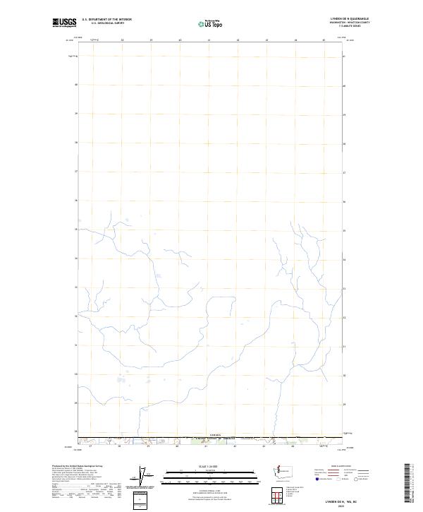
2023 Map of Lynden OE N
USGS Topo · Published 2023About this map
The international border between Canada and the United States of America defines the southern edge of this map, reflecting the geopolitical division within the northern reaches of Whatcom County. This area represents a primarily unpopulated landscape, where the hydrography is characterized by a network of drainage channels and small tributaries that flow across the border region. A single named thoroughfare, E Boundary Rd, runs parallel to the national boundary, providing one of the few points of modern infrastructure in an otherwise sparse and open territory. The map highlights the transition between the two nations, where the surveyor's grid of t41n r2e and t41n r3e meets the international line, illustrating how land management and road networks are constrained by the political boundary.
Find a feature on this map
4 named features on this map. Tap any name to fly to it.
Don’t see what you’re looking for? This feature index may not catch every label — zoom into the map to look around manually.
Map Details
Editions of this 2023 Lynden OE N Map
This is the sole edition of this map. No revisions or reprints were ever made.
Other maps of this area

1906 · Sumas
USGS Topo · 1:62,500

1907 · Blaine
USGS Topo · 1:62,500

1908 · Sumas
USGS Topo · 1:62,500

1952 · Bertrand Creek
USGS Topo · 1:24,000

1952 · Lynden
USGS Topo · 1:24,000

1952 · Sumas
USGS Topo · 1:24,000

1952 · Blaine
USGS Topo · 1:62,500

1954 · Lynden
USGS Topo · 1:62,500

1957 · Victoria
USGS Topo · 1:250,000

1975 · Bellingham
USGS Topo · 1:100,000