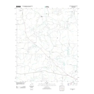
2012 Map of Lynn Creek
USGS Topo · Published 2012About this map
Indian Hills and several family-named landmarks characterize this portion of Jack County in 2012. The landscape is defined by its water management and petroleum extraction, featuring the Ellis Oil Field in the northwest and McDonald Oil Field to the northeast. A series of water control structures, including Soil Conservation Service Site 30 Reservoir and Soil Conservation Service Site 13 Reservoir, are distributed across the drainage basins of Lynn Creek and North Creek. These reservoirs indicate a landscape heavily modified for flood control and soil conservation in the late 20th century.
Find a feature on this map
47 named features on this map. Tap any name to fly to it.
Don’t see what you’re looking for? This feature index may not catch every label — zoom into the map to look around manually.
Map Details
Editions of this 2012 Lynn Creek Map
This is the sole edition of this map. No revisions or reprints were ever made.
Other maps of this area

1954 · Wichita Falls
USGS Topo · 1:250,000

1958 · Wichita Falls
USGS Topo · 1:250,000

1960 · Jacksboro
USGS Topo · 1:24,000

1962 · Antelope Creek NE
USGS Topo · 1:24,000

1964 · Senate
USGS Topo · 1:24,000

1964 · Johnson Lake
USGS Topo · 1:24,000

1964 · Darnell Branch
USGS Topo · 1:24,000

1964 · Bryson
USGS Topo · 1:24,000

1964 · Lynn Creek
USGS Topo · 1:24,000

1964 · Antelope
USGS Topo · 1:24,000