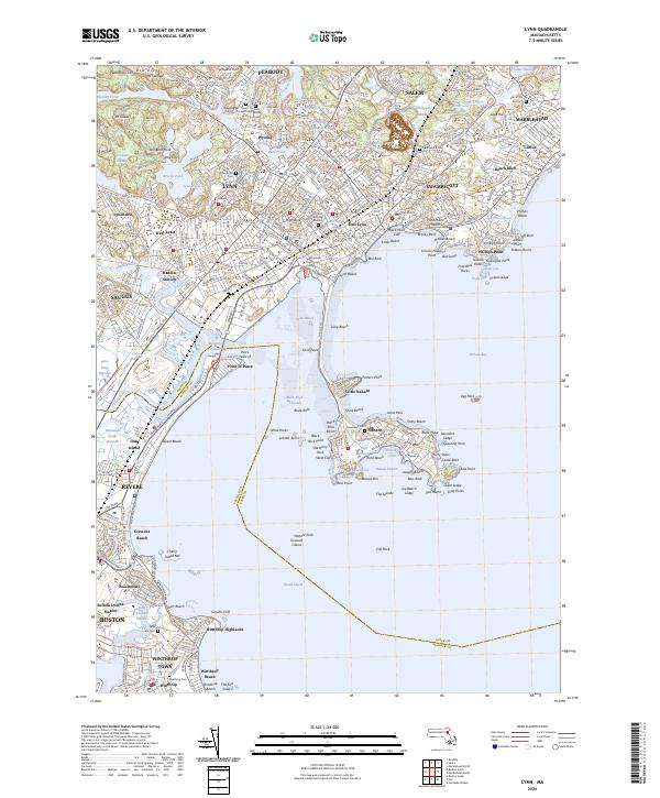
1977 Map of Lynn
USGS Topo · Published 1980About this map
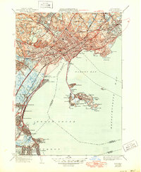
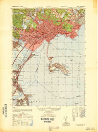
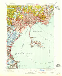
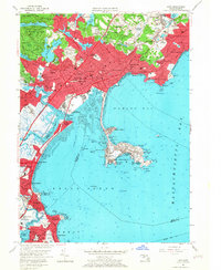
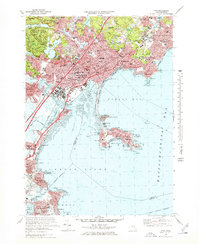
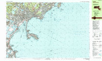
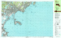
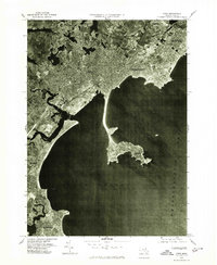
Nahant sits anchored to the mainland by a narrow causeway in this 1977 orthophotoquad, which uses aerial imagery to document the dense coastal urbanization of the North Shore. The industrial and residential grids of Lynn and Swampscott dominate the shoreline of Broad Sound, while the winding channels of the Saugus River and Pines River create a complex network of marshes and tidal flats to the west. This specialized photographic record highlights the intense land use during the late 1970s, showing the precise footprints of neighborhoods in Revere and Winthrop as they crowd the Atlantic coast. The map also captures the inland borders of Peabody, Salem, and Marblehead, illustrating how the metropolitan sprawl of the era had nearly merged these historic maritime settlements into a continuous suburban landscape.
Find a feature on this map
13 named features on this map. Tap any name to fly to it.
Don’t see what you’re looking for? This feature index may not catch every label — zoom into the map to look around manually.
Map Details
Editions of this 1977 Lynn Map
This is the sole edition of this map. No revisions or reprints were ever made.
Historical Maps of Boston Through Time
11 maps found