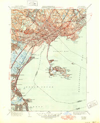
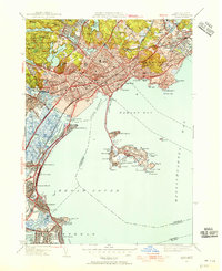
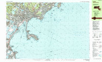
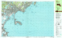
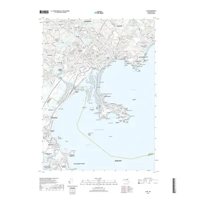
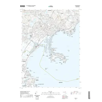
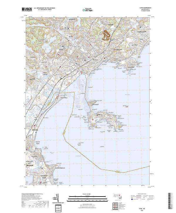
1946 Map of Lynn
USGS Topo · Published 1950About this map
The rocky coastline of Nahant and the dense neighborhoods of Lynn define this post-war landscape as the North Shore transitioned into a modern urban corridor. Inland, the expansive Lynn Woods preserves a more primitive terrain around Breeds Pond and Walden Pond, contrasting with the industrialized corridors of the Boston and Maine Railroad. The map captures a high concentration of institutional landmarks, from the Isolation Hospital to several major educational sites like English High Sch.
Find a feature on this map
99 named features on this map. Tap any name to fly to it.
Don’t see what you’re looking for? This feature index may not catch every label — zoom into the map to look around manually.
Map Details
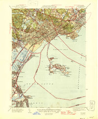
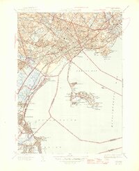
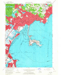
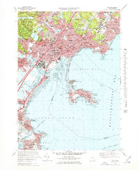
Editions of this 1946 Lynn Map
3 editions found
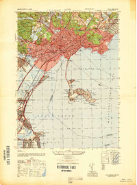
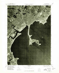
Historical Maps of Boston Through Time
15 maps found

1943 Lynn
Essex County, MA

1944 Lynn
Essex County, MA
1946 Lynn
Essex County, MA
1947 Lynn
Essex County, MA
1949 Lynn
Essex County, MA
1956 Lynn
Essex County, MA
1970 Lynn
Essex County, MA
1977 Lynn
Essex County, MA
1985 Lynn
Essex County, MA
1997 Lynn
Essex County, MA
2012 Lynn
Essex County, MA
2015 Lynn
Essex County, MA
2018 Lynn
Essex County, MA
2021 Lynn
Essex County, MA
2024 Lynn
Essex County, MA