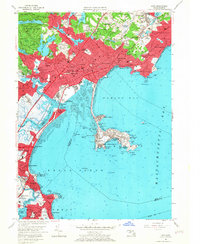
1956 Map of Lynn
USGS Topo · Published 1967About this map
Lynnway and the industrial corridors of Lynn define this mid-century coastal landscape, showing a period of dense urban growth alongside established maritime and military sites. The map documents the extensive residential footprints of West Lynn and East Lynn, anchored by civic institutions like the Classical High Sch and the sprawling Pine Grove Cemetery. Along the shoreline, the geography transitions from the commercial bustle of Lynn Harbor to the rocky outcrops of Nahant, where Fort Ruckman U S Mil Res stands as a reminder of the era's coastal defense priorities.
Find a feature on this map
127 named features on this map. Tap any name to fly to it.
Don’t see what you’re looking for? This feature index may not catch every label — zoom into the map to look around manually.
Map Details
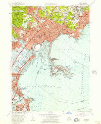
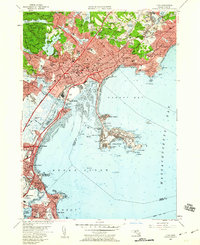
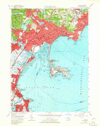
Editions of this 1956 Lynn Map
4 editions found
Other maps of this area

1886 · Lawrence
USGS Topo · 1:62,500

1888 · Lawrence
USGS Topo · 1:62,500

1888 · Salem
USGS Topo · 1:62,500

1892 · Boston Bay
USGS Topo · 1:62,500

1893 · Salem
USGS Topo · 1:62,500

1893 · Boston
USGS Topo · 1:62,500

1893 · Lawrence
USGS Topo · 1:62,500

1903 · Boston
USGS Topo · 1:62,500

1903 · Boston Bay
USGS Topo · 1:62,500

1917 · Salem
USGS Topo · 1:62,500