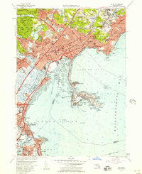
1956 Map of Lynn
USGS Topo · Published 1957About this map
Lynn Woods and its network of water bodies like Walden Pond and Breeds Pond dominate the northern landscape of this mid-century Essex County survey. The dense urban centers of Lynn and Swampscott are intricately detailed, showing a post-war infrastructure of schools like English High Sch and industrial landmarks such as the Powerplant near the Saugus River. Along the coast, the maritime character of the region is evident through numerous yacht clubs and the prominent US Coast Guard Sta at Little Nahant.
Find a feature on this map
136 named features on this map. Tap any name to fly to it.
Don’t see what you’re looking for? This feature index may not catch every label — zoom into the map to look around manually.
Map Details
Editions of this 1956 Lynn Map
4 editions found
Other maps of this area

1886 · Lawrence
USGS Topo · 1:62,500

1888 · Lawrence
USGS Topo · 1:62,500

1888 · Salem
USGS Topo · 1:62,500

1892 · Boston Bay
USGS Topo · 1:62,500

1893 · Salem
USGS Topo · 1:62,500

1893 · Boston
USGS Topo · 1:62,500

1893 · Lawrence
USGS Topo · 1:62,500

1903 · Boston
USGS Topo · 1:62,500

1903 · Boston Bay
USGS Topo · 1:62,500

1917 · Salem
USGS Topo · 1:62,500