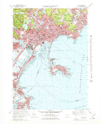
1970 Map of Lynn
USGS Topo · Published 1978About this map
The dense industrial and residential character of Lynn is displayed here alongside the natural expanse of Lynn Woods, where the terrain rises toward Burrill Hill and Mt Moriah. The map details a landscape deeply influenced by its coastal geography, from the marshes near the Saugus River to the rocky peninsula of Nahant, which is connected to the mainland by a slender causeway. Settlement patterns show a high concentration of institutional landmarks, including numerous parochial schools like St Josephs Sch and large cemeteries such as Pine Grove Cemetery.
Find a feature on this map
123 named features on this map. Tap any name to fly to it.
Don’t see what you’re looking for? This feature index may not catch every label — zoom into the map to look around manually.
Map Details
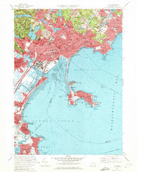
Editions of this 1970 Lynn Map
2 editions found
Other maps of this area

1886 · Lawrence
USGS Topo · 1:62,500

1888 · Lawrence
USGS Topo · 1:62,500

1888 · Salem
USGS Topo · 1:62,500

1892 · Boston Bay
USGS Topo · 1:62,500

1893 · Salem
USGS Topo · 1:62,500

1893 · Boston
USGS Topo · 1:62,500

1893 · Lawrence
USGS Topo · 1:62,500

1903 · Boston
USGS Topo · 1:62,500

1903 · Boston Bay
USGS Topo · 1:62,500

1917 · Salem
USGS Topo · 1:62,500