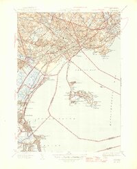
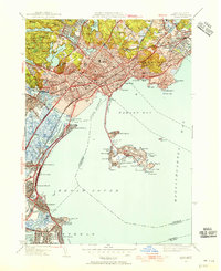
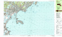
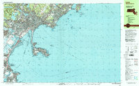
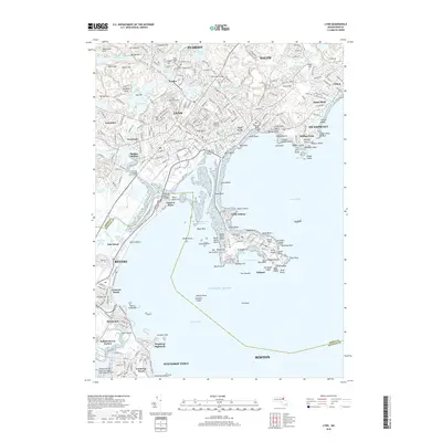
1946 Map of Lynn
USGS Topo · Published 1946About this map
The coastal North Shore of Massachusetts is dominated by the dense urban corridors of West Lynn and East Lynn, where the industrial and civic heart of the region is centered around City Hall and the Lynn Common. This immediate post-war era reveals a landscape transitioning from its maritime and rail-heavy roots, with the Boston and Maine RR and the Boston Revere Beach and Lynn RR providing essential connectivity to the burgeoning residential neighborhoods. The topography to the north is defined by the extensive Lynn Woods parkland, containing numerous reservoirs such as Breeds Pond and Walden Pond, alongside high points like Mt Gilead and Burrill Hill. Along the shoreline, the recreational character of the era is evident at Revere Beach and Nahant, where the State Bath House and numerous named beaches like Kings Beach and Fishermans Beach highlight the area's enduring role as a regional getaway.
Find a feature on this map
108 named features on this map. Tap any name to fly to it.
Don’t see what you’re looking for? This feature index may not catch every label — zoom into the map to look around manually.
Map Details
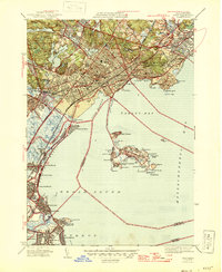
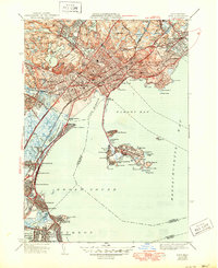
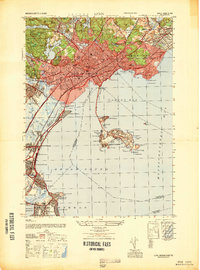
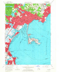
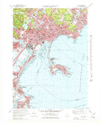
Editions of this 1946 Lynn Map
3 editions found
Historical Maps of Boston Through Time
15 maps found

1943 Lynn
Essex County, MA

1944 Lynn
Essex County, MA
1946 Lynn
Essex County, MA
1947 Lynn
Essex County, MA
1949 Lynn
Essex County, MA
1956 Lynn
Essex County, MA
1970 Lynn
Essex County, MA
1977 Lynn
Essex County, MA
1985 Lynn
Essex County, MA
1997 Lynn
Essex County, MA
2012 Lynn
Essex County, MA
2015 Lynn
Essex County, MA
2018 Lynn
Essex County, MA
2021 Lynn
Essex County, MA
2024 Lynn
Essex County, MA