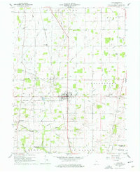
1960 Map of Lynn
USGS Topo · Published 1961About this map
The town of Lynn serves as the focal point of this Eastern Indiana survey, situated at a bustling intersection of the Pennsylvania and New York Central Line railroads. This era captures the agricultural and industrial infrastructure of southern Randolph County before the major consolidation of rural landmarks. To the west, the village of Bloomingport anchors a landscape defined by an intricate network of drainage, including Grave Run and Nameless Creek, which feed into the Greens Fork. Genealogists will find significant detail in the numerous community landmarks such as Quaker Lynn Cem, Cherry Grove Cem, and Mt Gilliard Cem. Local industry is evidenced by the Sand and Gravel Pits near the center of town, while smaller outlying settlements like Snow Hill and Rural reflect the settlement patterns of the mid-20th century.
Find a feature on this map
57 named features on this map. Tap any name to fly to it.
Don’t see what you’re looking for? This feature index may not catch every label — zoom into the map to look around manually.
Map Details
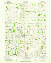
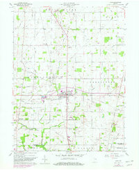
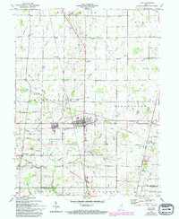
Editions of this 1960 Lynn Map
4 editions found
Other maps of this area

1915 · New Paris
USGS Topo · 1:48,000

1916 · Winchester
USGS Topo · 1:48,000

1918 · Winchester
USGS Topo · 1:62,500

1918 · New Paris
USGS Topo · 1:62,500

1943 · Winchester
USGS Topo · 1:62,500

1952 · Maxville
USGS Topo · 1:24,000

1953 · Cincinnati
USGS Topo · 1:250,000

1953 · Muncie
USGS Topo · 1:250,000

1956 · Muncie
USGS Topo · 1:250,000

1957 · Cincinnati
USGS Topo · 1:250,000