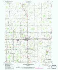
1960 Map of Lynn
USGS Topo · Published 1994About this map
Lynn sits at a significant crossroads in southern Randolph County, where the landscape transitions into a complex web of agricultural drainage and headwater streams. This survey, grounded in 1960 field checks, reveals a rural landscape defined by small clusters of settlement like Rural, Snow Hill, and Bloomingport. The area is notably dense with community heritage sites, including the Quaker Lynn Cem and Cherry Grove Tabernacle, reflecting the deep-seated denominational history of this part of Indiana.
Find a feature on this map
49 named features on this map. Tap any name to fly to it.
Don’t see what you’re looking for? This feature index may not catch every label — zoom into the map to look around manually.
Map Details
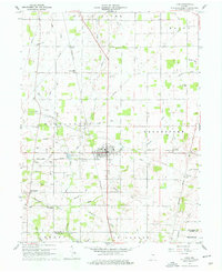
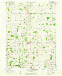
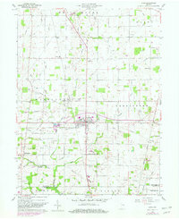
Editions of this 1960 Lynn Map
4 editions found
Other maps of this area

1915 · New Paris
USGS Topo · 1:48,000

1916 · Winchester
USGS Topo · 1:48,000

1918 · Winchester
USGS Topo · 1:62,500

1918 · New Paris
USGS Topo · 1:62,500

1943 · Winchester
USGS Topo · 1:62,500

1952 · Maxville
USGS Topo · 1:24,000

1953 · Cincinnati
USGS Topo · 1:250,000

1953 · Muncie
USGS Topo · 1:250,000

1956 · Muncie
USGS Topo · 1:250,000

1957 · Cincinnati
USGS Topo · 1:250,000