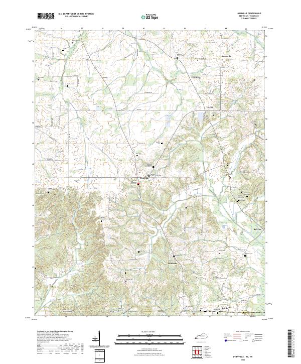
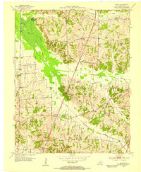
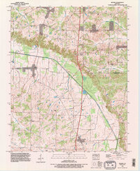
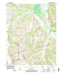
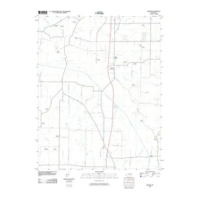
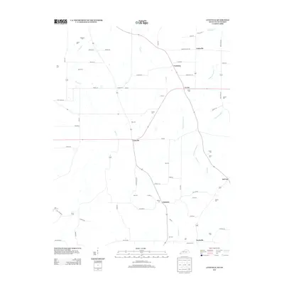
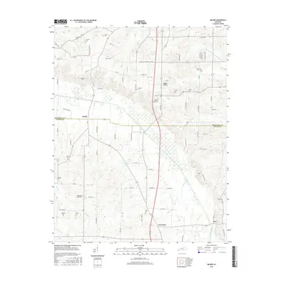
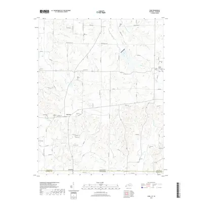
2022 Map of Lynnville
USGS Topo · Published 2022About this map
Lynnville and its surrounding farming communities are defined by a dense network of family cemeteries and rural congregations along the Kentucky and Tennessee state line. This landscape, shaped by the tributaries of Terrapin Cr and Obion Cr, is notable for the preservation of numerous small burial grounds such as Feland Family Cem and Kesterson Cem. The settlement pattern reflects a century of local history, where hamlets like Tri City, Cooksville, and Boydsville serve as anchor points for the agricultural residents. To the south, Bumpas Bottom marks a transition in the terrain near the Graves Co and Weakley Co boundary. The map provides a detailed view of the infrastructure of the early 21st century, showing how modern routes like State HWY 83 overlay the older grid of roads like McQuire Cemetery Rd and Cuba School Rd.
Find a feature on this map
100 named features on this map. Tap any name to fly to it.
Don’t see what you’re looking for? This feature index may not catch every label — zoom into the map to look around manually.
Map Details
Editions of this 2022 Lynnville Map
This is the sole edition of this map. No revisions or reprints were ever made.
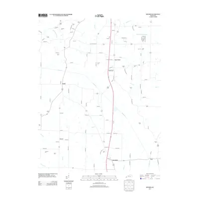
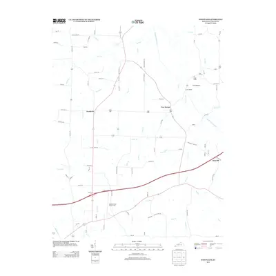
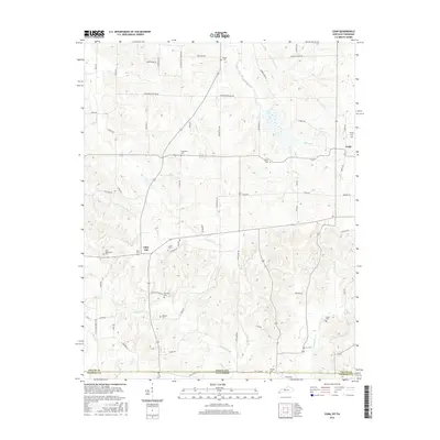
Historical Maps of Bell City Through Time
39 maps found
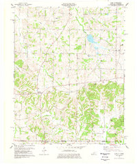
1936 Melber
Graves County, KY
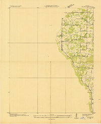
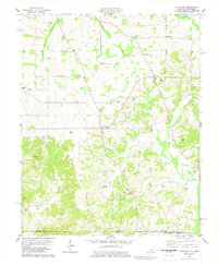
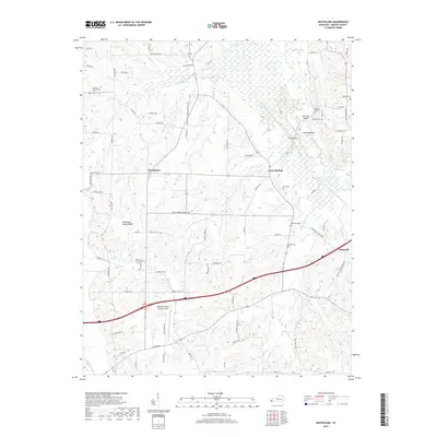
1936 Westplains
Graves County, KY
1951 Melber
Graves County, KY

1951 Westplains
Graves County, KY

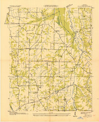
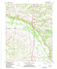
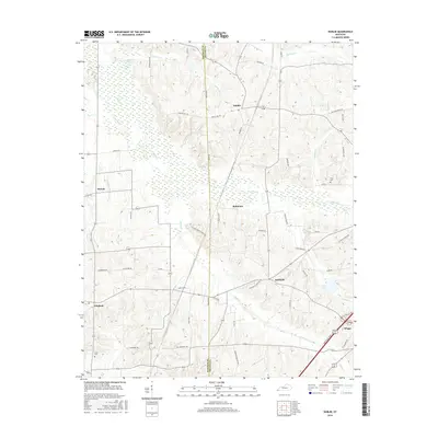
1952 Cuba
Graves County, KY
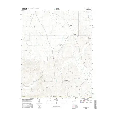
1952 Dublin
Graves County, KY
1952 Lynnville
Graves County, KY
1969 Dublin
Graves County, KY
1969 Westplains
Graves County, KY
1977 Cuba
Graves County, KY
1978 Lynnville
Graves County, KY
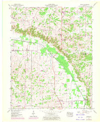
1982 Melber
Graves County, KY
1993 Melber
Graves County, KY
1993 Westplains
Graves County, KY
2010 Cuba
Graves County, KY
2010 Dublin
Graves County, KY
2010 Lynnville
Graves County, KY
2010 Melber
Graves County, KY
2010 Westplains
Graves County, KY
2013 Cuba
Graves County, KY
2013 Dublin
Graves County, KY
2013 Lynnville
Graves County, KY
2013 Melber
Graves County, KY
2013 Westplains
Graves County, KY
2016 Cuba
Graves County, KY
2016 Dublin
Graves County, KY
2016 Lynnville
Graves County, KY
2016 Melber
Graves County, KY
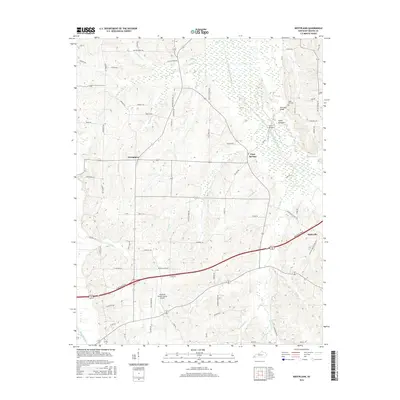
2016 Westplains
Graves County, KY
2019 Cuba
Graves County, KY
2019 Dublin
Graves County, KY
2019 Lynnville
Graves County, KY
2019 Melber
Graves County, KY
2019 Westplains
Graves County, KY
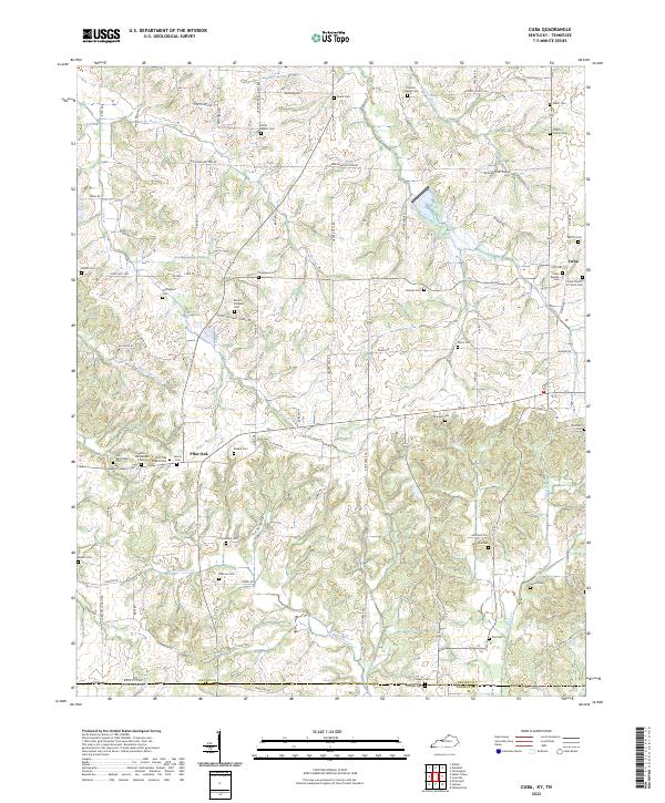
2022 Cuba
Graves County, KY
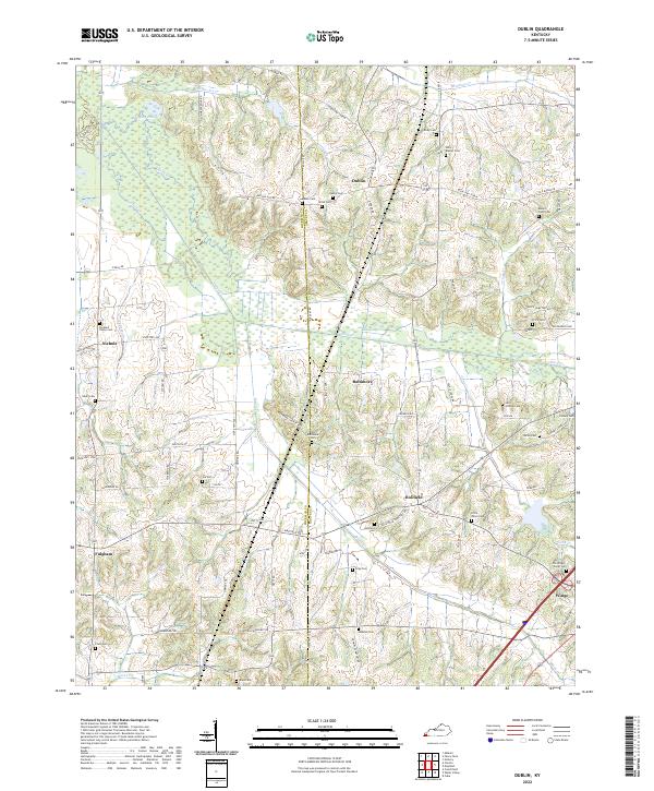
2022 Dublin
Graves County, KY
2022 Lynnville
Graves County, KY
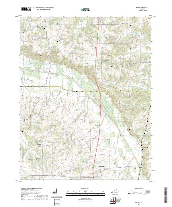
2022 Melber
Graves County, KY
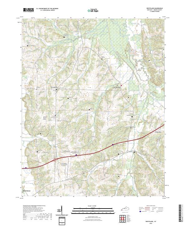
2022 Westplains
Graves County, KY