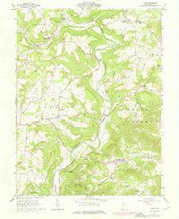
1961 Map of Lynx
USGS Topo · Published 1976About this map
Ohio Brush Creek dominates this part of Adams County, carving a winding path through the dissected landscape of the Virginia Military District. This 1961 record shows a deeply rooted rural society defined by family-named landmarks and small-scale agriculture. Prominent landmarks like Buzzardroost Rock and Scrub Ridge oversee a network of narrow hollows and creeks, including Lick Run and Cedar Creek.
Find a feature on this map
60 named features on this map. Tap any name to fly to it.
Don’t see what you’re looking for? This feature index may not catch every label — zoom into the map to look around manually.
Map Details
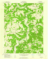
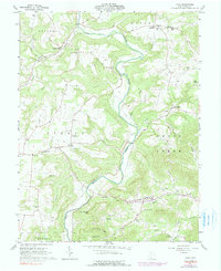
Editions of this 1961 Lynx Map
3 editions found
Other maps of this area

1916 · Peebles
USGS Topo · 1:62,500

1918 · Peebles
USGS Topo · 1:62,500

1918 · Seaman
USGS Topo · 1:62,500

1919 · Vanceburg
USGS Topo · 1:62,500

1929 · Springdale
USGS Topo · 1:48,000

1935 · Springdale
USGS Topo · 1:62,500

1949 · Vanceburg
USGS Topo · 1:62,500

1949 · Buena Vista
USGS Topo · 1:24,000

1949 · Concord
USGS Topo · 1:24,000
1951 · Buena Vista
USGS Topo · 1:24,000