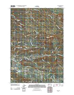
2011 Map of Lyons
USGS Topo · Published 2011About this map
The North Santiam River flows through the heart of this landscape, separating the communities of Mehama and Lyons along the river's northern and southern banks. In this timber-rich region of the Willamette Valley's eastern edge, the industrial footprint of the forestry sector is evident through the Freres Log Ponds and local infrastructure. To the north, the geography rises into the foothills of the Cascades, where numerous cascades including Shellburg Falls, Stasel Falls, and Stout Creek Falls mark the drainages of Shellburg Creek and Stout Creek. Settlement history is preserved at the Fox Valley Cemetery and in small localities like Gooch and Tuckwila. The map further details civic landmarks such as the Mehama Post Office and the South Silver Creek Youth Camp located along the upper reaches of South Silver Creek.
Find a feature on this map
81 named features on this map. Tap any name to fly to it.
Don’t see what you’re looking for? This feature index may not catch every label — zoom into the map to look around manually.
Map Details
Editions of this 2011 Lyons Map
This is the sole edition of this map. No revisions or reprints were ever made.
Other maps of this area

1929 · Mill City
USGS Topo · 1:125,000

1951 · Lyons
USGS Topo · 1:62,500

1951 · Snow Peak
USGS Topo · 1:62,500

1953 · Salem
USGS Topo · 1:250,000

1954 · Salem
USGS Topo · 1:250,000

1955 · Mill City
USGS Topo · 1:62,500

1956 · Quartzville
USGS Topo · 1:62,500

1960 · Salem
USGS Topo · 1:250,000

1962 · Salem
USGS Topo · 1:250,000

1963 · Salem
USGS Topo · 1:250,000