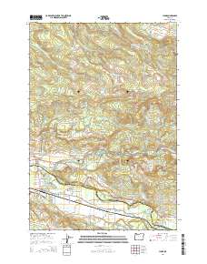
2014 Map of Lyons
USGS Topo · Published 2014About this map
The Little North Santiam River and North Santiam River converge near the communities of Mehama and Lyons, forming the central artery of this landscape at the border of Marion and Linn Counties. The terrain to the north is defined by steep ridges and a high concentration of cataracts, including Ayers Creek Falls, Shellburg Falls, Horseshoe Falls, and Stasel Falls. These features are tucked beneath the heights of Wildcat Ridge and Big Green Mtn.
Find a feature on this map
69 named features on this map. Tap any name to fly to it.
Don’t see what you’re looking for? This feature index may not catch every label — zoom into the map to look around manually.
Map Details
Editions of this 2014 Lyons Map
This is the sole edition of this map. No revisions or reprints were ever made.
Other maps of this area

1929 · Mill City
USGS Topo · 1:125,000

1951 · Lyons
USGS Topo · 1:62,500

1951 · Snow Peak
USGS Topo · 1:62,500

1953 · Salem
USGS Topo · 1:250,000

1954 · Salem
USGS Topo · 1:250,000

1955 · Mill City
USGS Topo · 1:62,500

1956 · Quartzville
USGS Topo · 1:62,500

1960 · Salem
USGS Topo · 1:250,000

1962 · Salem
USGS Topo · 1:250,000

1963 · Salem
USGS Topo · 1:250,000