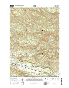
2017 Map of Lyons
USGS Topo · Published 2017About this map
The North Santiam River serves as the primary corridor through this landscape, dividing the communities of Mehama and Lyons along the boundary of Marion and Linn Counties. The 2017 terrain is characterized by a transition from the industrial and residential centers in the valley to the significant elevations of McCully Mtn and Big Green Mtn. Evidence of the local timber economy is found in the Lyons Log Pond and Freres Log Ponds near the riverbanks. To the north, the topography rises sharply into the Abiqua Basin, where a series of cataracts including Stout Creek Falls, Shellburg Falls, and Stasel Falls mark the descent of mountain creeks. Genealogists will find the Fox Valley Cem situated within the Fox Valley settlement, while recreational history is noted through the Perimeter Trail and Shellburg Creek Trail.
Find a feature on this map
91 named features on this map. Tap any name to fly to it.
Don’t see what you’re looking for? This feature index may not catch every label — zoom into the map to look around manually.
Map Details
Editions of this 2017 Lyons Map
This is the sole edition of this map. No revisions or reprints were ever made.
Other maps of this area

1929 · Mill City
USGS Topo · 1:125,000

1951 · Lyons
USGS Topo · 1:62,500

1951 · Snow Peak
USGS Topo · 1:62,500

1953 · Salem
USGS Topo · 1:250,000

1954 · Salem
USGS Topo · 1:250,000

1955 · Mill City
USGS Topo · 1:62,500

1956 · Quartzville
USGS Topo · 1:62,500

1960 · Salem
USGS Topo · 1:250,000

1962 · Salem
USGS Topo · 1:250,000

1963 · Salem
USGS Topo · 1:250,000