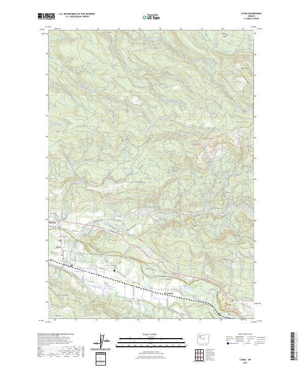
2023 Map of Lyons
USGS Topo · Published 2023About this map
The Little North Santiam River and North Santiam River converge near the settlements of Mehama and Lyons, defining the industrial and geographic character of this Linn and Marion County borderland. The presence of Freres Log Ponds near the riverbanks highlights the area's ongoing connection to the timber industry, while the residential layout of Tuckwila and Fox Valley illustrates the persistent rural settlement patterns of the region.
Find a feature on this map
88 named features on this map. Tap any name to fly to it.
Don’t see what you’re looking for? This feature index may not catch every label — zoom into the map to look around manually.
Map Details
Editions of this 2023 Lyons Map
This is the sole edition of this map. No revisions or reprints were ever made.
Other maps of this area

1929 · Mill City
USGS Topo · 1:125,000

1951 · Lyons
USGS Topo · 1:62,500

1951 · Snow Peak
USGS Topo · 1:62,500

1953 · Salem
USGS Topo · 1:250,000

1954 · Salem
USGS Topo · 1:250,000

1955 · Mill City
USGS Topo · 1:62,500

1956 · Quartzville
USGS Topo · 1:62,500

1960 · Salem
USGS Topo · 1:250,000

1962 · Salem
USGS Topo · 1:250,000

1963 · Salem
USGS Topo · 1:250,000