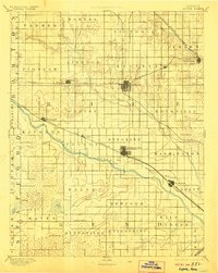
1894 Map of Lyons
USGS Topo · Published 1906About this map
Lyons stands at the center of this late 19th-century landscape, serving as a critical rail junction where the Missouri Pacific Railroad crosses the Atchison Topeka and Santa Fe Railroad. The survey illustrates a region defined by its transition from prairie to organized township grids, with the winding Arkansas River cutting a wide diagonal path through the southwestern portion of the sheet. Low-lying areas like the Salt Marsh and Black Marsh near Huntsville P.O. indicate the original hydrology of the plains before extensive modern drainage.
Find a feature on this map
52 named features on this map. Tap any name to fly to it.
Don’t see what you’re looking for? This feature index may not catch every label — zoom into the map to look around manually.
Map Details
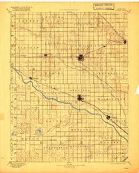
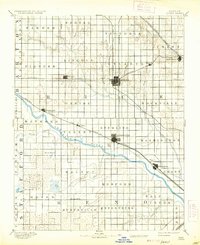
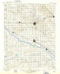
Editions of this 1894 Lyons Map
5 editions found

Other maps of this area

1889 · Cheney
USGS Topo · 1:125,000

1891 · Great Bend
USGS Topo · 1:125,000

1891 · Hutchinson
USGS Topo · 1:125,000

1891 · Cheney
USGS Topo · 1:125,000

1892 · Salina
USGS Topo · 1:125,000

1892 · Kingman
USGS Topo · 1:125,000

1892 · Pratt
USGS Topo · 1:125,000

1893 · Great Bend
USGS Topo · 1:125,000

1893 · Hutchinson
USGS Topo · 1:125,000

1894 · Ellsworth
USGS Topo · 1:125,000