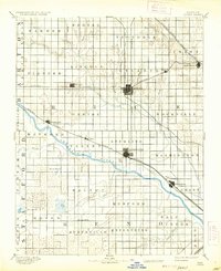
1894 Map of Lyons
USGS Topo · Published 1937About this map
Lyons and Sterling serve as the primary hubs of this late-19th-century central Kansas landscape, where the iron grid of the Atchison Topeka and Santa Fe Railroad and the St. Louis and San Francisco Railway intersect. The map illustrates a transitional period of agricultural settlement, with townships such as Eureka, Victoria, and Pioneer established across the prairie. The hydrology of the region is defined by the sweeping curve of the Arkansas River and the complex drainage of Cow Creek and the Little Arkansas River. Notable landmarks for local historians include the Huntsville P.O. and the distinctive Salt Marsh and Black Marsh in the southern reaches of Rice County. The grid-like survey lines highlight the rapid organization of land following the arrival of the rails, which supported smaller depots at Chase, Alden, and Raymond.
Find a feature on this map
53 named features on this map. Tap any name to fly to it.
Don’t see what you’re looking for? This feature index may not catch every label — zoom into the map to look around manually.
Map Details
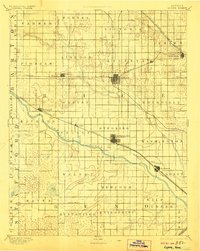
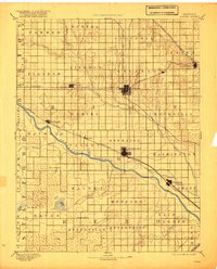
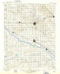
Editions of this 1894 Lyons Map
5 editions found

Other maps of this area

1889 · Cheney
USGS Topo · 1:125,000

1891 · Great Bend
USGS Topo · 1:125,000

1891 · Hutchinson
USGS Topo · 1:125,000

1891 · Cheney
USGS Topo · 1:125,000

1892 · Salina
USGS Topo · 1:125,000

1892 · Kingman
USGS Topo · 1:125,000

1892 · Pratt
USGS Topo · 1:125,000

1893 · Great Bend
USGS Topo · 1:125,000

1893 · Hutchinson
USGS Topo · 1:125,000

1894 · Ellsworth
USGS Topo · 1:125,000