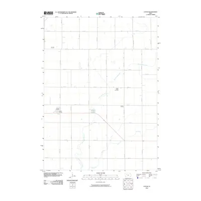
2010 Map of Lytton
USGS Topo · Published 2010About this map
The town of Lytton sits at the intersection of local commerce and a sprawling agricultural grid in this 2010 study. As the primary settlement on this sheet, it is anchored by the Lytton Post Office, reflecting its role as a local hub for the surrounding rural communities. The landscape is defined by the drainage of West Fork Camp Creek and Camp Creek, which meander through the precisely surveyed township sections. Significant local markers include the Saint John Cemetery and Garfield Cemetery, providing valuable points of reference for genealogists tracking family heritage in this part of Iowa. The inclusion of the Briggs Woods Lake Dam indicates the management of local water resources within the drainage system. The roadway network is dominated by alphabetically and numerically ordered routes, such as Chateau Ave and 210th St, showing the endurance of the Public Land Survey System layout.
Find a feature on this map
28 named features on this map. Tap any name to fly to it.
Don’t see what you’re looking for? This feature index may not catch every label — zoom into the map to look around manually.
Map Details
Editions of this 2010 Lytton Map
This is the sole edition of this map. No revisions or reprints were ever made.
Other maps of this area

1954 · Fort Dodge
USGS Topo · 1:250,000

1957 · Fort Dodge
USGS Topo · 1:250,000

1958 · Fort Dodge
USGS Topo · 1:250,000

1979 · Fonda
USGS Topo · 1:24,000

1979 · Pomeroy
USGS Topo · 1:24,000

1979 · Newell East
USGS Topo · 1:24,000

1980 · Lytton
USGS Topo · 1:24,000

1980 · Rockwell City
USGS Topo · 1:24,000

1980 · Sac City East
USGS Topo · 1:24,000

1980 · Grant City
USGS Topo · 1:24,000