
1980 Map of Rockwell City
USGS Topo · Published 1980About this map
Twin Lakes State Park anchors the recreational and social landscape of this central Iowa region, surrounding the distinct basins of North Twin Lake and South Twin Lake. The 1980 landscape reveals a mix of public leisure and local utility, featuring the Twin Lakes Bible Camp, Twin Lakes Golf Club, and Featherstone Memorial County Park Campground. This area is characterized by a dense network of drainage and transportation, where the Chicago Milwaukee St Paul and Pacific railroad cuts diagonally across the section lines toward the small community of Jolley.
Find a feature on this map
28 named features on this map. Tap any name to fly to it.
Don’t see what you’re looking for? This feature index may not catch every label — zoom into the map to look around manually.
Map Details
Editions of this 1980 Rockwell City Map
This is the sole edition of this map. No revisions or reprints were ever made.
Other maps of this area

1954 · Fort Dodge
USGS Topo · 1:250,000

1957 · Fort Dodge
USGS Topo · 1:250,000

1958 · Fort Dodge
USGS Topo · 1:250,000

1979 · Fonda
USGS Topo · 1:24,000

1979 · Manson
USGS Topo · 1:24,000

1979 · Pomeroy
USGS Topo · 1:24,000

1980 · Lytton
USGS Topo · 1:24,000

1980 · Yetter
USGS Topo · 1:24,000
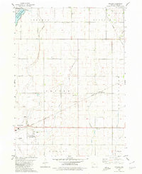
1980 · Richard
USGS Topo · 1:24,000
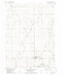
1980 · Lohrville
USGS Topo · 1:24,000