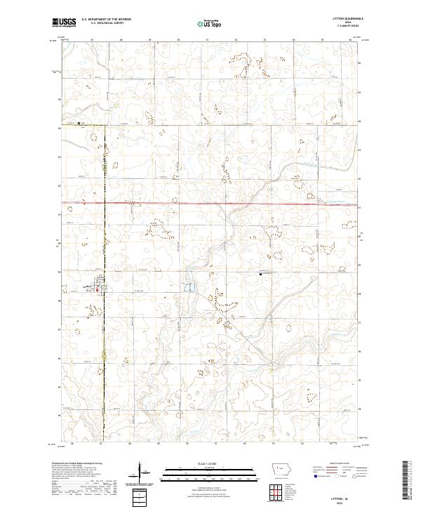
2022 Map of Lytton
USGS Topo · Published 2022About this map
Lytton straddles the border of Sac Co and Calhoun Co, serving as a primary rail-side settlement in this agricultural landscape of northwest Iowa. The town's grid is clearly defined by Main St, Chestnut Ave, and Railway St, reflecting the historical importance of the transportation corridor that shaped its development. Surrounding the town, the land is marked by a sophisticated water management network, including Drainage Ditch 6 and the meandering W Fork Camp Cr, which eventually joins the main branch of Camp Cr. Local genealogy and history are preserved at sites like Saint John Cem to the northwest and Garfield Cem to the east, while the rectilinear road system, featuring named routes like Dakota Ave and Elkland Ave, underscores the enduring influence of the Public Land Survey System on this prairie region.
Find a feature on this map
44 named features on this map. Tap any name to fly to it.
Don’t see what you’re looking for? This feature index may not catch every label — zoom into the map to look around manually.
Map Details
Editions of this 2022 Lytton Map
This is the sole edition of this map. No revisions or reprints were ever made.
Other maps of this area

1954 · Fort Dodge
USGS Topo · 1:250,000

1957 · Fort Dodge
USGS Topo · 1:250,000

1958 · Fort Dodge
USGS Topo · 1:250,000

1979 · Fonda
USGS Topo · 1:24,000

1979 · Pomeroy
USGS Topo · 1:24,000

1979 · Newell East
USGS Topo · 1:24,000

1980 · Lytton
USGS Topo · 1:24,000

1980 · Rockwell City
USGS Topo · 1:24,000

1980 · Sac City East
USGS Topo · 1:24,000

1980 · Grant City
USGS Topo · 1:24,000