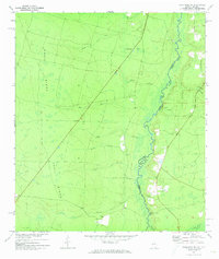
1972 Map of Macclenny NE
USGS Topo · Published 1973About this map
The St Marys River winds along the interstate boundary between Georgia and Florida, defining the eastern edge of this landscape during the early 1970s. This low-lying drainage basin is characterized by numerous seasonal waterways including Mims Creek, Schoolhouse Bay, and Brandy Branch Swamp. The terrain is dominated by the prominent elevation of Trail Ridge, which runs vertically through the western half of the sheet, providing a natural barrier and higher ground for historical transport routes like the Jeep Trail. Local life is concentrated near the river, marked by the small settlement of Stokesville and several small rural burial grounds. Genealogists will find the locations of Pringle Cem, Deep Creek Cem, and Motes Cem particularly useful, along with Emmaus Ch near the banks of the river. The presence of Stokes Bridge illustrates the importance of river crossings in connecting the isolated farms and wetlands of Charlton and Nassau counties.
Find a feature on this map
30 named features on this map. Tap any name to fly to it.
Don’t see what you’re looking for? This feature index may not catch every label — zoom into the map to look around manually.
Map Details
Editions of this 1972 Macclenny NE Map
2 editions found
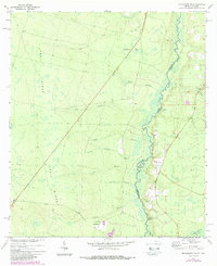
Other maps of this area

1917 · Cambon
USGS Topo · 1:62,500

1917 · Macclenny
USGS Topo · 1:62,500

1917 · Hilliard
USGS Topo · 1:62,500

1918 · Moniac
USGS Topo · 1:62,500

1918 · Cambon
USGS Topo · 1:62,500

1918 · Macclenny
USGS Topo · 1:62,500

1919 · Hilliard
USGS Topo · 1:62,500

1942 · Moniac
USGS Topo · 1:62,500

1948 · Jacksonville
USGS Topo · 1:250,000

1954 · Valdosta
USGS Topo · 1:250,000