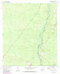
1972 Map of Macclenny NE
USGS Topo · Published 1988About this map
The St Marys River meanders along the Georgia-Florida border, defining the eastern edge of a landscape shaped by the prominent elevation of Trail Ridge. This 1970s survey, updated in the 1980s, reveals a rural corridor where small settlements and family landmarks are scattered among numerous watercourses like Mims Creek and Schoolhouse Bay. The community of Stokesville sits near the southern boundary, joined by the crossing at Stokes Bridge and the nearby Emmaus Ch. Cultural and genealogical details are well-preserved through several burial sites, including Pringle Cem, Deep Creek Cem, and Motes Cem. The presence of the Base Line survey mark and numerous drainage branches such as Tiger Branch and Green Branch illustrate the complex hydrology of this lowland region.
Find a feature on this map
22 named features on this map. Tap any name to fly to it.
Don’t see what you’re looking for? This feature index may not catch every label — zoom into the map to look around manually.
Map Details
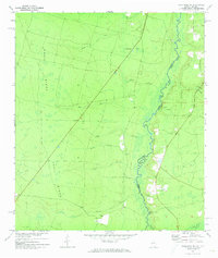
Editions of this 1972 Macclenny NE Map
2 editions found
Other maps of this area

1917 · Cambon
USGS Topo · 1:62,500

1917 · Macclenny
USGS Topo · 1:62,500

1917 · Hilliard
USGS Topo · 1:62,500

1918 · Moniac
USGS Topo · 1:62,500

1918 · Cambon
USGS Topo · 1:62,500

1918 · Macclenny
USGS Topo · 1:62,500

1919 · Hilliard
USGS Topo · 1:62,500

1942 · Moniac
USGS Topo · 1:62,500

1948 · Jacksonville
USGS Topo · 1:250,000

1954 · Valdosta
USGS Topo · 1:250,000