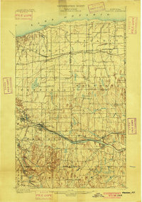
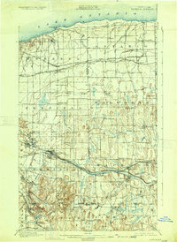
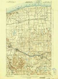
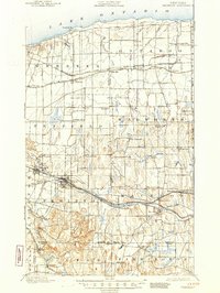
1900 Map of Macedon
USGS Topo · Published 1900About this map
The Erie Canal forms the industrial and transport backbone of this region just before the turn of the century, threading through the growing villages of Fairport and Macedon. The landscape reveals a complex network of late 19th-century rail infrastructure, where the New York Central and Hudson River R. R. and the West Shore R. R. run nearly parallel along the canal corridor. To the north, the Ridge Road serves as a primary east-west thoroughfare, connecting agricultural and commercial hubs like Webster, Ontario Center, and Ontario.
Find a feature on this map
64 named features on this map. Tap any name to fly to it.
Don’t see what you’re looking for? This feature index may not catch every label — zoom into the map to look around manually.
Map Details
Editions of this 1900 Macedon Map
8 editions found
Other maps of this area

1895 · Rochester
USGS Topo · 1:62,500

1895 · Ontario Beach
USGS Topo · 1:62,500

1898 · Rochester
USGS Topo · 1:62,500

1899 · Ontario Beach
USGS Topo · 1:62,500

1899 · Palmyra
USGS Topo · 1:62,500

1900 · Macedon
USGS Topo · 1:62,500

1900 · Canandaigua
USGS Topo · 1:62,500

1901 · Honeoye
USGS Topo · 1:62,500

1902 · Pultneyville
USGS Topo · 1:62,500

1902 · Phelps
USGS Topo · 1:62,500