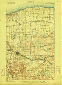
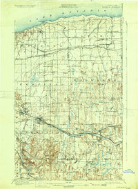
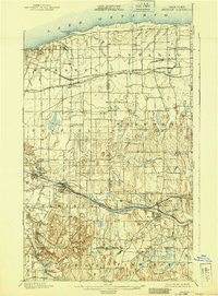
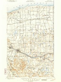
1900 Map of Macedon
USGS Topo · Published 1916About this map
The Erie Canal carves through the lower half of this landscape, serving as a primary corridor for commerce and travel between Fairport and Macedon. This transportation network is further densely layered by the presence of the New York Central and Hudson River R. R. and the West Shore R. R., which follow the canal's path through the southern townships. To the north, the shore of Lake Ontario meets a rural landscape dotted with smaller settlements like Lakeside and Furnaceville, while the Rome Watertown and Ogdensburg Division rail line connects the agricultural hubs of Ontario Center and Fruitland. Significant topographic relief appears in the southern portion of the sheet, marked by named peaks such as Turk Hill and Baker Hill near the village of Fishers, contrasting with the more level terrain found near the lakefront.
Find a feature on this map
73 named features on this map. Tap any name to fly to it.
Don’t see what you’re looking for? This feature index may not catch every label — zoom into the map to look around manually.
Map Details
Editions of this 1900 Macedon Map
8 editions found
Other maps of this area

1895 · Rochester
USGS Topo · 1:62,500

1895 · Ontario Beach
USGS Topo · 1:62,500

1898 · Rochester
USGS Topo · 1:62,500

1899 · Ontario Beach
USGS Topo · 1:62,500

1899 · Palmyra
USGS Topo · 1:62,500

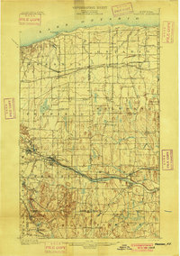
1900 · Macedon
USGS Topo · 1:62,500

1900 · Canandaigua
USGS Topo · 1:62,500

1901 · Honeoye
USGS Topo · 1:62,500

1902 · Pultneyville
USGS Topo · 1:62,500

1902 · Phelps
USGS Topo · 1:62,500