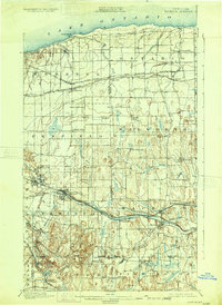
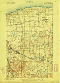
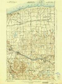
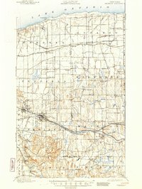
1900 Map of Macedon
USGS Topo · Published 1931About this map
The Lake Ontario shoreline defines the northern edge of this territory, where numerous drainage systems like Fourmile Creek and Bear Creek flow toward the coast. This late nineteenth-century survey documents a critical transition in New York's transportation infrastructure, capturing the alignment of the Erie Canal alongside the developing Barge Canal. The heavy influence of the railroad era is evident through the path of the New York Central and Hudson River R. R. and the West Shore R. R., which catalyzed growth in hubs like Fairport and Macedon. Further south, the landscape rises toward Turk Hill and Baker Hill, while scattered rural communities such as Furnaceville, Fruitland, and Walworth appear connected by the historic Ridge Road. This survey provides a clear view of the Finger Lakes region's northern reaches before the full modernization of the twentieth century.
Find a feature on this map
71 named features on this map. Tap any name to fly to it.
Don’t see what you’re looking for? This feature index may not catch every label — zoom into the map to look around manually.
Map Details
Editions of this 1900 Macedon Map
8 editions found
Other maps of this area

1895 · Rochester
USGS Topo · 1:62,500

1895 · Ontario Beach
USGS Topo · 1:62,500

1898 · Rochester
USGS Topo · 1:62,500

1899 · Ontario Beach
USGS Topo · 1:62,500

1899 · Palmyra
USGS Topo · 1:62,500

1900 · Macedon
USGS Topo · 1:62,500

1900 · Canandaigua
USGS Topo · 1:62,500

1901 · Honeoye
USGS Topo · 1:62,500

1902 · Pultneyville
USGS Topo · 1:62,500

1902 · Phelps
USGS Topo · 1:62,500