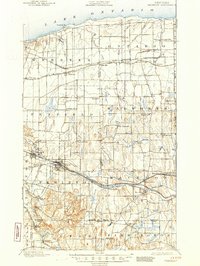
1900 Map of Macedon
USGS Topo · Published 1945About this map
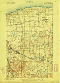
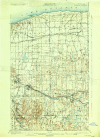
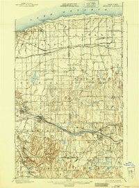
Lake Ontario defines the northern reaches of this late 19th-century landscape, where a dense network of transit lines fueled the growth of Monroe and Wayne counties. The simultaneous presence of the Erie Canal and the newer Barge Canal near Fairport and Macedon illustrates a pivotal era in New York's inland shipping history. Further south, the topography shifts from the flat lake plains to the prominent glacial drumlins and hills like Turk Hill and Baker Hill.
Find a feature on this map
74 named features on this map. Tap any name to fly to it.
Don’t see what you’re looking for? This feature index may not catch every label — zoom into the map to look around manually.
Map Details
Editions of this 1900 Macedon Map
8 editions found
Other maps of this area

1895 · Rochester
USGS Topo · 1:62,500

1895 · Ontario Beach
USGS Topo · 1:62,500

1898 · Rochester
USGS Topo · 1:62,500

1899 · Ontario Beach
USGS Topo · 1:62,500

1899 · Palmyra
USGS Topo · 1:62,500

1900 · Macedon
USGS Topo · 1:62,500

1900 · Canandaigua
USGS Topo · 1:62,500

1901 · Honeoye
USGS Topo · 1:62,500

1902 · Pultneyville
USGS Topo · 1:62,500

1902 · Phelps
USGS Topo · 1:62,500