
1900 Map of Macedon
USGS Topo · Published 1900About this map
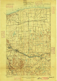
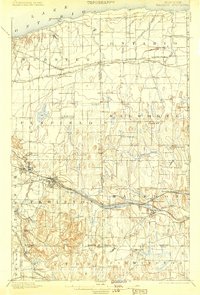
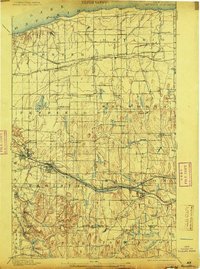
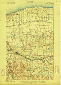
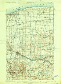
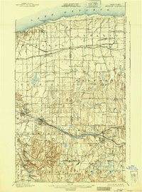
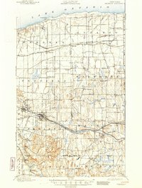
The Erie Canal cuts through the southern heart of this landscape at the turn of the century, serving as a vital artery alongside the New York Central and Hudson River R. R. and the West Shore R. R.. This 1898 survey captures the dense rail-and-water infrastructure that fueled the development of towns like Fairport and Macedon. To the north, the shoreline of Ontario Lake is defined by drainage features such as Fourmile Creek and Ninemile Pt., while the interior is dotted with crossroads hamlets like Union Hill, Roseland, and Ontario Center. The map reveals the early industrial and agricultural footprint of the region, including the curiously named Furnaceville and the distinct elevation changes around Turk Hill and Baker Hill, providing a look at the topographical diversity between the lake plain and the drumlin fields to the south.
Find a feature on this map
73 named features on this map. Tap any name to fly to it.
Don’t see what you’re looking for? This feature index may not catch every label — zoom into the map to look around manually.
Map Details
Editions of this 1900 Macedon Map
8 editions found
Other maps of this area

1895 · Rochester
USGS Topo · 1:62,500

1895 · Ontario Beach
USGS Topo · 1:62,500

1898 · Rochester
USGS Topo · 1:62,500

1899 · Ontario Beach
USGS Topo · 1:62,500

1899 · Palmyra
USGS Topo · 1:62,500

1900 · Canandaigua
USGS Topo · 1:62,500

1901 · Honeoye
USGS Topo · 1:62,500

1902 · Pultneyville
USGS Topo · 1:62,500

1902 · Phelps
USGS Topo · 1:62,500

1902 · Palmyra
USGS Topo · 1:62,500