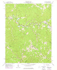
1964 Map of Macfarlan
USGS Topo · Published 1977About this map
South Fork Hughes River meanders through the central terrain of this Ritchie County landscape, defining the development of small river-side communities. The 1960s economy of the region is clearly visible through a dense network of oil wells and gas wells that populate the ridges and hollows, particularly within the Burning Springs and Sheridan districts. This intense industrial footprint exists alongside established rural life, marked by small settlements like Macfarlan and Beatrice.
Find a feature on this map
60 named features on this map. Tap any name to fly to it.
Don’t see what you’re looking for? This feature index may not catch every label — zoom into the map to look around manually.
Map Details
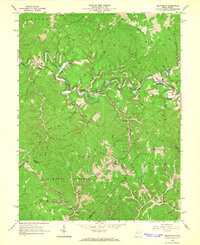
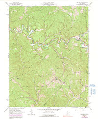
Editions of this 1964 Macfarlan Map
3 editions found
Other maps of this area

1906 · Elizabeth
USGS Topo · 1:62,500

1907 · Harrisville
USGS Topo · 1:62,500

1907 · Arnoldsburg
USGS Topo · 1:62,500

1907 · Spencer
USGS Topo · 1:62,500

1924 · Harrisville
USGS Topo · 1:62,500

1924 · Elizabeth
USGS Topo · 1:62,500

1925 · Arnoldsburg
USGS Topo · 1:62,500

1926 · Elizabeth
USGS Topo · 1:62,500

1926 · Harrisville
USGS Topo · 1:62,500

1927 · Arnoldsburg
USGS Topo · 1:62,500