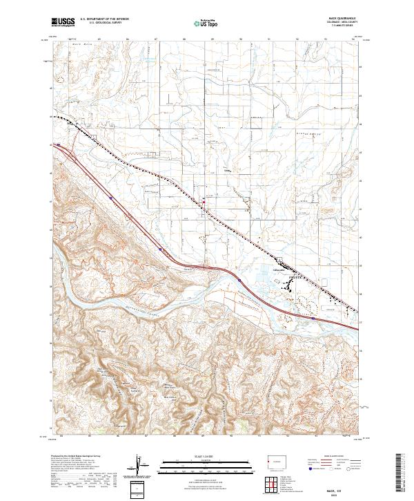
2022 Map of Mack
USGS Topo · Published 2022About this map
The Colorado River carves a dramatic path through this high desert landscape, dividing the agricultural developments of the Grand Valley from the labyrinthine sandstone formations to the south. North of the river, a sophisticated irrigation network including the Golden Hill Canal, Grand Valley Canal, and Loma Drain supports the rural communities of Mack, Loma, and Gilsonite. This engineering allows for cultivation right up to the edge of the desert breaks near Fruita.
Find a feature on this map
115 named features on this map. Tap any name to fly to it.
Don’t see what you’re looking for? This feature index may not catch every label — zoom into the map to look around manually.
Map Details
Editions of this 2022 Mack Map
This is the sole edition of this map. No revisions or reprints were ever made.
Other maps of this area

1934 · Colorado National Monument
USGS Topo · 1:24,000

1956 · Grand Junction
USGS Topo · 1:250,000

1959 · Grand Junction
USGS Topo · 1:250,000

1960 · Grand Junction
USGS Topo · 1:250,000

1962 · Grand Junction
USGS Topo · 1:250,000

1962 · Fruita
USGS Topo · 1:24,000

1962 · Mack
USGS Topo · 1:24,000

1962 · Colorado National Monument
USGS Topo · 1:24,000
1962 · Battleship Rock
USGS Topo · 1:24,000

1964 · Grand Junction
USGS Topo · 1:250,000